|
Welcome to Cobourg Yacht Club Located on Cobourg Harbour
|
Welcome to the home ofCobourg Yacht Club
New Members are always welcome You don't need to own a boat to belong. Click the JOIN button below for more information about membership levels at |


For Members Event Calendar Click Here - Members' Calendar
CYC Dining - Summer Hours CYC is now open Wednesday & Friday for Dinner 5:30pm! Visit our Bar & Dining Page for details and hours of operation. 2nd Annual Kite Foiling Regatta
Last year we hosted the Inaugural CYC Kite Foil Regatta. Foiling brings a fresh, visually exciting element to our program while reinforcing the same principles and tactics we use in our Wednesday night races. It’s a fantastic addition to our sailing lineup. Come out and watch on this weekend Saturday and Sunday, and join us for dinner on Saturday Night to welcome our guests. Sail Past - June 14, 2026 _________________________ Evening with Gary Jobson
2025 Inaugural CYC Kite Foil Regatta A huge thank you to everyone who helped make the first Foil Regatta such a success. Your efforts as volunteers truly put CYC on the map—so much so that we’ve been asked to run it again next year. Foiling brings a fresh, visually exciting element to our program while reinforcing the same principles and tactics we use in our Wednesday night races. It’s a fantastic addition to our sailing lineup. THANK YOU!
2025 NOR and Racing Registration Updated Click here to register and access NOR _______________________________________ LYRA 2024 Rochester Congratulations to Tatiana and Windstar crews who competed this past weekend at the Lake Yacht Racing Association (LYRA) 2024 Regatta at Rochester Yacht Club and placed 7th and 8th overall in the PHRF Division! Great to have CYC representation at such an event. CYC attendees enjoyed a weekend full of racing, great evenings at the club, and it was a nice throwback to run into our 8 Metre friends who attended LYRA 2023 Cobourg 8mR and were there celebrating Thisbe's 95th birthday with a dock party hosted by the North American Eight Metre Association!
Images ©2024 Tim Wilkes Photography & LYRA
Fish Fry Following our 59th birthday, on Sunday CYC held a fish-fry thanks to Fishermen: Grant from 42.86, Scott from Scales and Tales, Jay from Reel Memories, organized by Rick and Sue Lovekin! If you missed it, you missed one of two great parties this weekend! And it proves, a great evening just takes a few willing participants, a little food and a lot of laughter! Thanks to everyone who attended, and the Fishermen that caught and cooked for us! This was a tradition that continued and took place last year in 2025 as well.
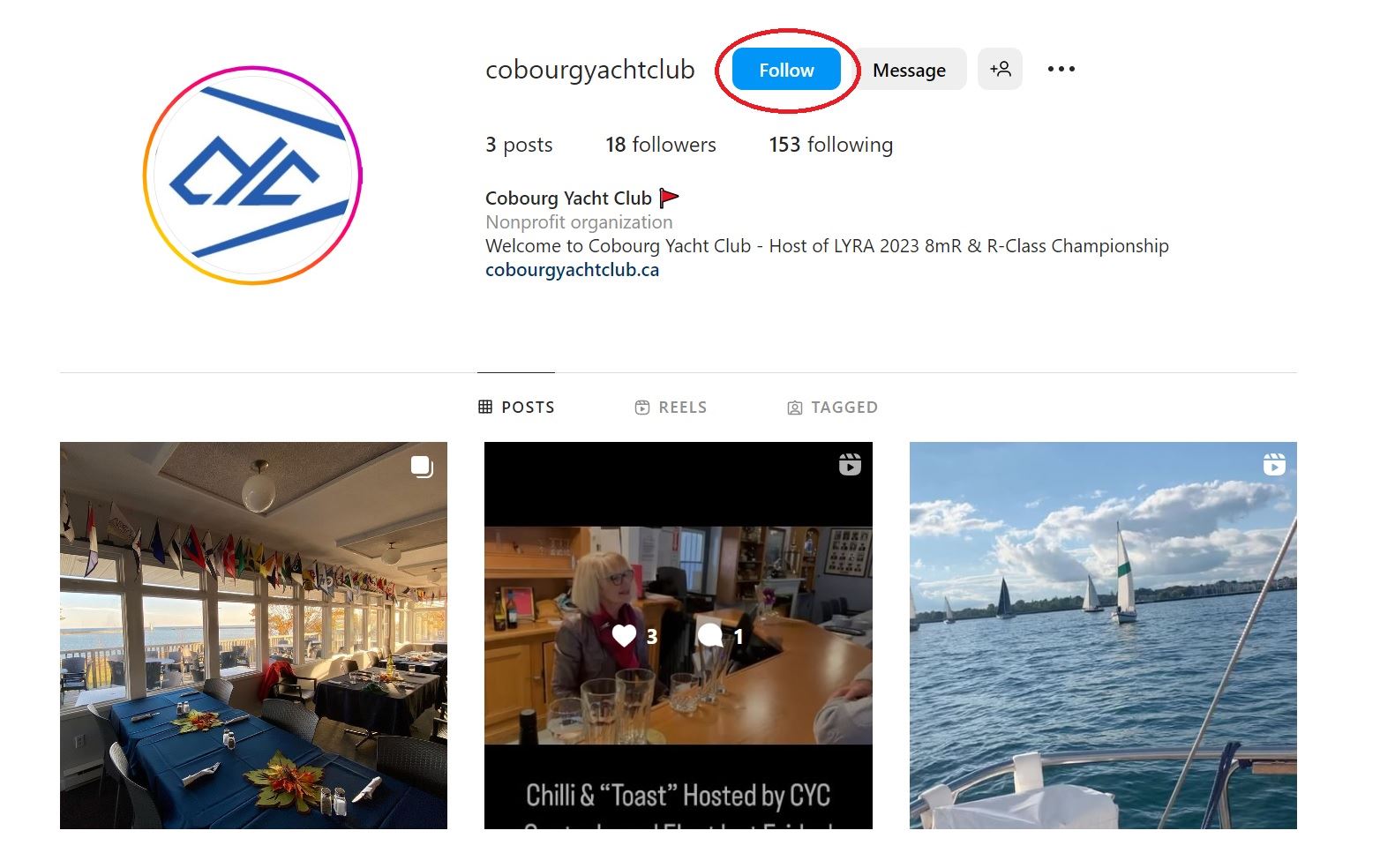
_______________________ The CYC Marketing and Communications Committee is pleased to announce that we now have an Official Instagram Account. It will be used to promote club activities, social events, and share member content! Tag Us @cobourgyachtclub on Instagram and we will repost relevant and exciting content! Click here and go follow us on Instagram!
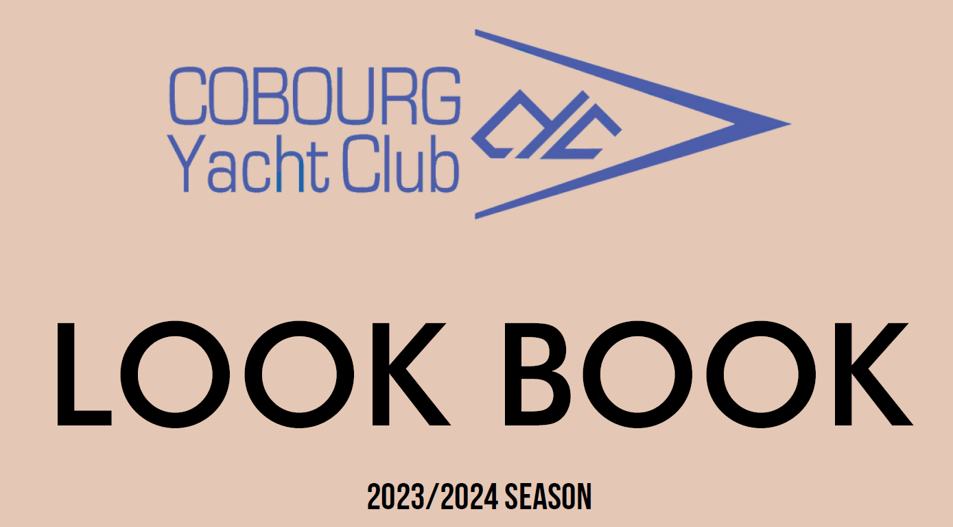
CYC Regalia Look Book is HERE! The Regalia Committee is pleased to present the CYC's first ever Look Book! The CYC Look Book is our digital catalogue of available CYC regalia. We are happy to present new items in 2023 which were directly requested by our members. If you didn't have an opportunity to contribute in the past - feel free to reach out and make us a suggestion! The CYC Look Book can easily be updated to include new items as requested. |

.png)

.png)
.jpg)